
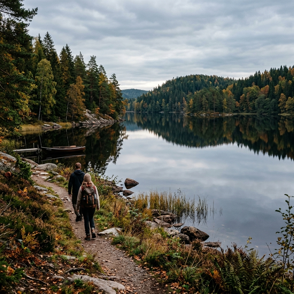
This trail passes through a protected nature reserve. Please respect local nature regulations and the Right of Public Access.
Elevation Profile & Incline
Drag across the chart to inspect elevation and position on the map
Description
Svartåmynningen led från Sättuna p-plats till plattformen (600 m) is a 0.6 km (easy) hiking trail (point-to-point) located in Sätuna, Östergötlands län, within the Svartåmynningen nature reserve. The route features +0 m of elevation gain and -0 m of descent (ranging between 36 and 37 m a.s.l.), with an estimated walking time of 8 min according to Naismith's rule.
Terrain and surroundings include Flat & easy terrain, River / Running stream. Registered facilities within 250 meters of the trail include Parking area at trail. The nearest public bus stop is 0.9 km from the trailhead (Östgötatrafiken).
Character, Surface & Nature
Shelters, Rest Stops & Service
Logistics, Parking & Transit
Official parking registered at the trailhead.(58.45415, 15.56367)
Nearest bus stop is approx. 0.9 km from the trail.
Weather Forecast
Fetching 3-day forecast...
Facts about Svartåmynningen led från Sättuna p-plats till plattformen (600 m)
| Distance | 0.6 km |
|---|---|
| Difficulty | Easy (Point-to-Point) |
| Elevation Profile | +0 m elevation gain / -0 m elevation loss (max 37 m a.s.l.) |
| Hiking Time | 0h 8m (Naismith's rule) |
| Location & Region | Sätuna, Östergötlands län (Nature Reserve: Svartåmynningen) |
| Facilities & Shelters along the trail | Parking area at trail |
| Public Transit & Bus | Bus stop approx. 0.9 km from trailhead |